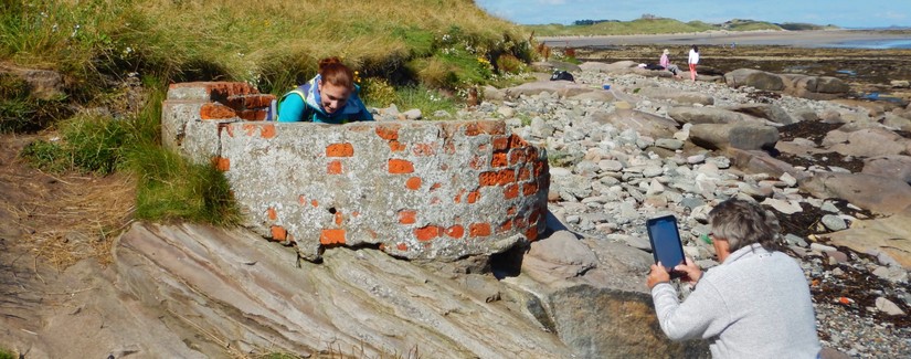
Recording the intertidal zone with your smartphone
Use our app to;
- Locate and record new archaeological features.
- Monitor at-risk archaeology and access our interactive coastal map.
- Download features and access data offline for remote locations (be sure to first login online).
- It’s free and available on all Apple and Android devices.
- Use it on site and on the go!
Getting started
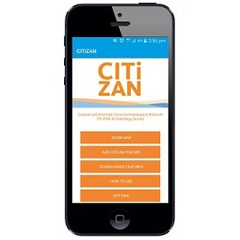
In order to use our app you will first need to register then head to the AppStore or GooglePlay and search for CITiZAN coastal archaeology for download. If you’re on your phone then simply click on the handy links below!
![]()
Read our how-to-guide on using the App.
Don’t forget to check our health and safety page and code of conduct before going out.
No smartphone? No problem!
- If you don't have a smartphone, tablet or iPad you can still add and edit foreshore features using our online interactive map. For more info on how to use our interactive map and add points or features head over to our how-to-guides.
- If you don’t have a smartphone and want to edit records on site visits then you can download and print Feature Update Survey packs to take with you.
- Select a point on the interactive map, click on "See more information and edit record" and scroll down to the bottom of this new page until you find the option to prepare the 'Feature Update Survey' pack. Click on this to download a printable form.
Never put yourself or others at risk when recording and monitoring for CITiZAN. If you are unsure or feel that the situation is unsafe for any reason, do not continue. For more info read our safety guidance and our volunteer code of conduct.