Oare Creek to Conyer Creek - Walking workshop
27/06/2020 | 9:30 a.m.
Oare Creek to Conyer Creek
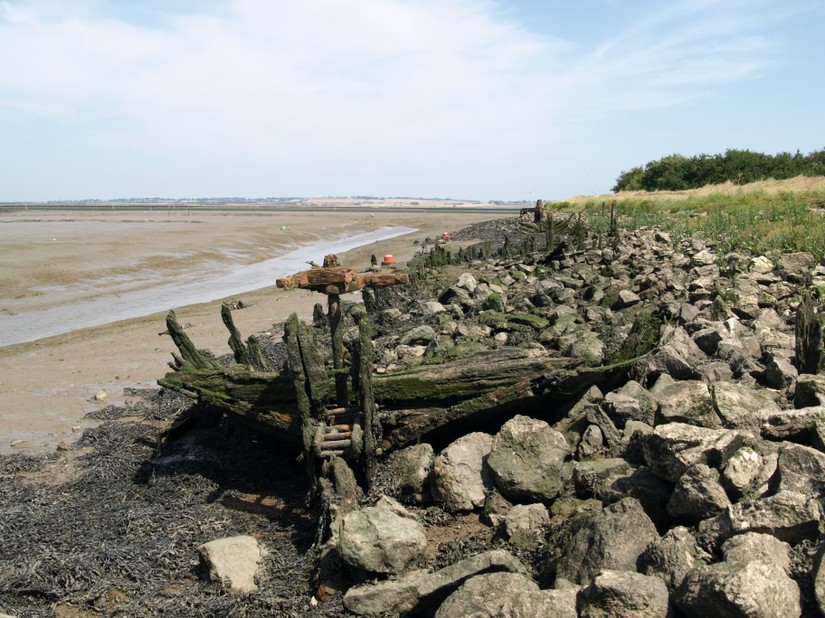
For this workshop the plan is to walk westwards from the tip of Oare Creeks to the west side of the mouth of Conyer Creek, recording any archaeological features we see with the CITiZAN app and precision RTK kit. This is to ‘ground truth’ the Historic England commissioned Rapid Coastal Zone Assessment Survey as only the desk-based research phase was ever completed here.
We’d love people to join us to learn or brush up on CITiZAN app skills, to learn how to use an RTK and to develop feature identification and foreshore monitoring skills. This walk will be c12km long and whether it lasts one day or two days really depends on how much there is to record, and how much of the creek edges are accessible - this is true exploratory fieldwork as well as a walking workshop! Meeting place TBC but likely to be somewhere close to the centre of Faversham. Transport will be arranged from the starting and end points when we know how many are coming.
Register your interest by emailing Lara on lband@mola.org.uk, Eventbrite booking will be set up in due course and we'll email you to prompt you to book. Although this event is currently planned to go ahead, MOLA/CITiZAN take the health and welfare of our staff, volunteers and the wider community very seriously. We will review the situation on 1st June and, in line with government guidance, may have to cancel this event to help safeguard against the spread of COVID-19. We'll inform you of any changes if they occur.
This is one of three walking workshops in which we intend to cover the Swale from The Sportsman at Seasalter to the western point of Conyer Creek between May and June. See our main events page for details of the other walking workshops.