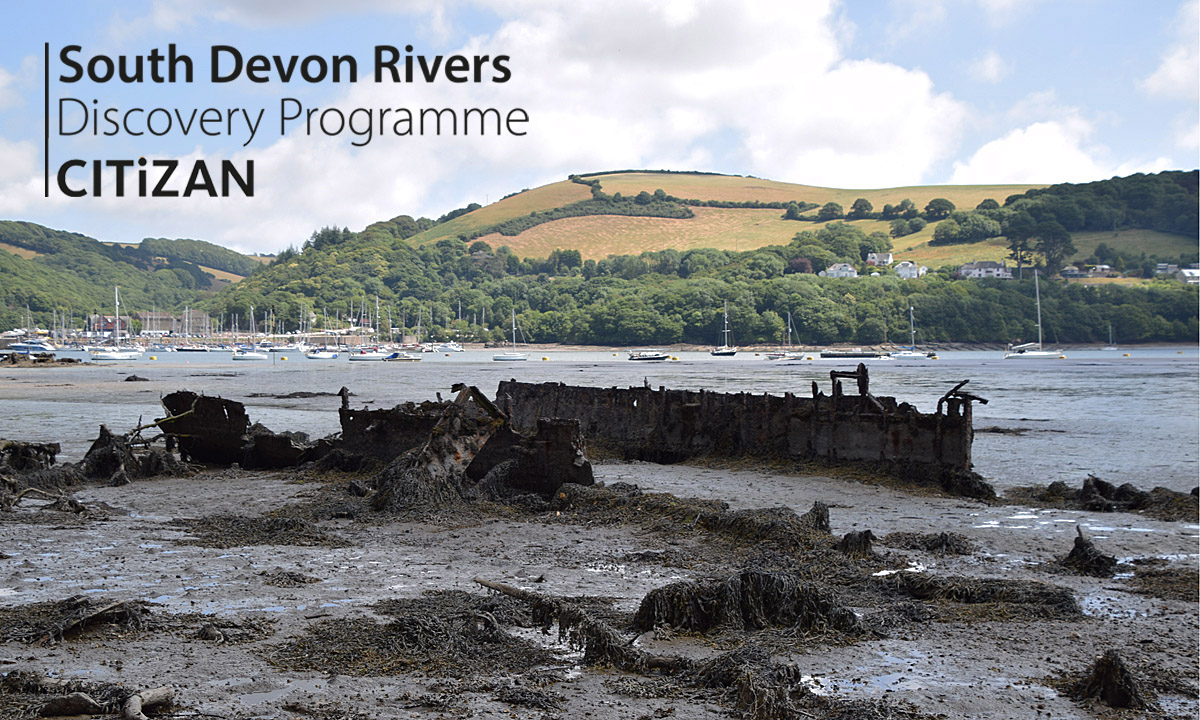
The South Devon Rivers region runs from Wembury to Seaton with a focus on the tidal reaches of the Rivers Exe, Teign and Dart. Between 2019 - 2020 we collaborated with local groups to record and better understand the wide range of archaeological features, including abandoned boats and barges, the remains of coastal industries and lost prehistoric landscapes.
Low Tide Trails
As part of our Legacy and withdrawal from the South Devon region Storymaps collating the history and archaeolgical sites off the esturaries where created in collaboration between ourselves and students during the Covid Pandemic. This series of maps are set to the CITiZAN themes give us a unique cross-section of each historic estuary.
The Dart Estuary - a look at the Dart estuary from its tidal reach at Totnes opening into the northern extremity of Start Bay.
The Exe Estuary - a walk through the sites that made the Exe.
The Teign - an exploration of the rich history and archaeology of the Teign Estuary.
Explore more of our South Devon maps via the Low Tide Trails menu.
Videos
Watch the following videos for further information:
3D Models
As part of our work in the South Devon area we have created multiple 3D models, the models help us to monitor sites but also provide a great tool to show sites to the public.


